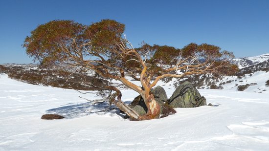
Touring Destinations – Perisher Valley
Perisher Valley is the largest ski resort in Australia and also contains a network of groomed cross-country ski trails and is the starting point for many ski tours further afield. There is a mixture of hilly and gentle terrain in this area.
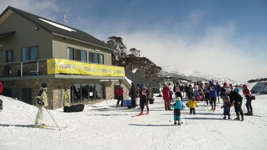
Perisher Nordic Trails
The Perisher cross-country trail network starts at the Perisher Nordic Shelter just to the east of the main carpark beyond the fire station. The groomed trails consist of 2.5, 5, 7.5 and 10km loops which are located between the road and the eastern escarpment. Most trails are a mixture of hilly and gentle terrain, with the easiest trail being the 2.5km loop closest to the Nordic Shelter.
Cross-country skiing lessons are usually held in the vicinity of the Nordic Shelter, and ski races are held on the trails nearly every weekend in July and August, and especially during the Perisher XC Week at the beginning of August.
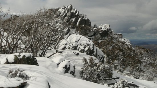
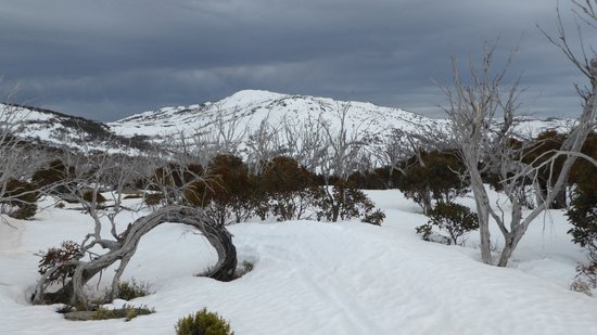
The Porcupine
The Porcupine is a rocky peak with granite outcrops overlooking the Crackenback Valley, situated a few kilometres south of Perisher. This is a popular skiing destination. The easiest way to reach The Porcupine is to follow the pole line past some of the South Perisher ski lodges and continue south along Rock Creek before climbing the western slopes of Mt Duncan up to the saddle, from where it is only a short distance to the Porcupine. There are great views overlooking the Crackenback Valley and of the Main Range in the distance. The return downhill run back to Perisher can be along the same route, or via Wheatley Gap and Perisher Gap.
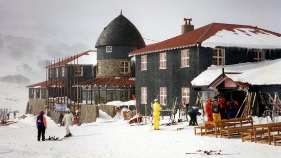
Charlotte Pass
The easiest way to reach Charlotte Pass from Perisher is to ski along the Kosciuszko Road up to Perisher Gap, down to Betts Creek bridge then to Spencers Creek bridge, dodging the over snow vehicles along the way. At Spencers Creek, turn left and follow the pole line around the side of the Sugarloaf hill then continue up the valley to The Chalet. Every year the KAC Classic ski race follows this same route to Charlotte Pass.
An alternative way to reach Charlotte Pass is to continue past The Porcupine and follow the pole line down to the Betts Creek valley, past the Trapyard Creek trail junction and along Johnnies Plain to the Chalet. This is a bit longer and hillier, but provides more variety than along the Kosciuszko Road.
Mt Piper / Smiggins
Mt Piper is located between North Perisher and Smiggin Holes and provides interesting skiing terrain. An ungroomed pole line contours around the slopes of Mt Piper, and the easiest direction is to start at the Smiggin Holes trailhead and finish at North Perisher. Apart from some short steep climbs near the start and the long gradual descent back to North Perisher, much of the Mt Piper route is fairly gentle, providing great views of Blue Cow peak and west towards the Rolling Grounds and Schlink Pass.
The large flat area to the north of the Smiggins carpark used to have groomed cross country ski trails of 2 and 4 km in length. The pole lines are still there but these trails are not groomed any more. This is still a good destination for an easy ski and great views of the Main Range to the west.
Blue Cow / Back Perisher
The slopes around the Blue Cow resort and Back Perisher provide spectacular views of the Main Range. One way to reach Blue Cow is to ski along the road which goes from North Perisher past the sewage works then climbs past the downhill slopes to reach the Blue Cow resort building. The easiest way however is to catch the Ski Tube from Perisher to Blue Cow.
From the Blue Cow Resort one can ski east across the saddle back to the top of the Perisher downhill slopes, or south across the open slopes of Back Perisher behind the Olympic run, then skirt the western slopes of Mt Perisher to reach Paralyser Gap. The Main Range views are a feature of this area.
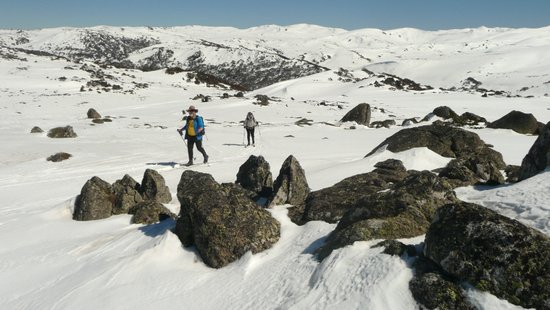
The Paralyser
The Paralyser provides great views of the Main Range and Perisher areas. It can be reached from Guthega and Farm Creek, from Blue Cow, or from Perisher via Perisher Gap. From Perisher, ski along the Kosciuszko Road to Perisher Gap and Betts Creek, then head west from Betts Creek bridge and ski across the open valley before beginning the climb to Paralyser Gap. Once at the Paralyser Gap there are some further climbs and open areas to negotiate before the Paralyser trig point comes into view. The trig point is a good location to enjoy the 360 degree views which include Mt Kosciuszko, the Main Range, Rolling Grounds and Mt Perisher.